Earthworks and Site Grading Monitoring
Keep your project on track with precise drone monitoring of earthworks and site grading.
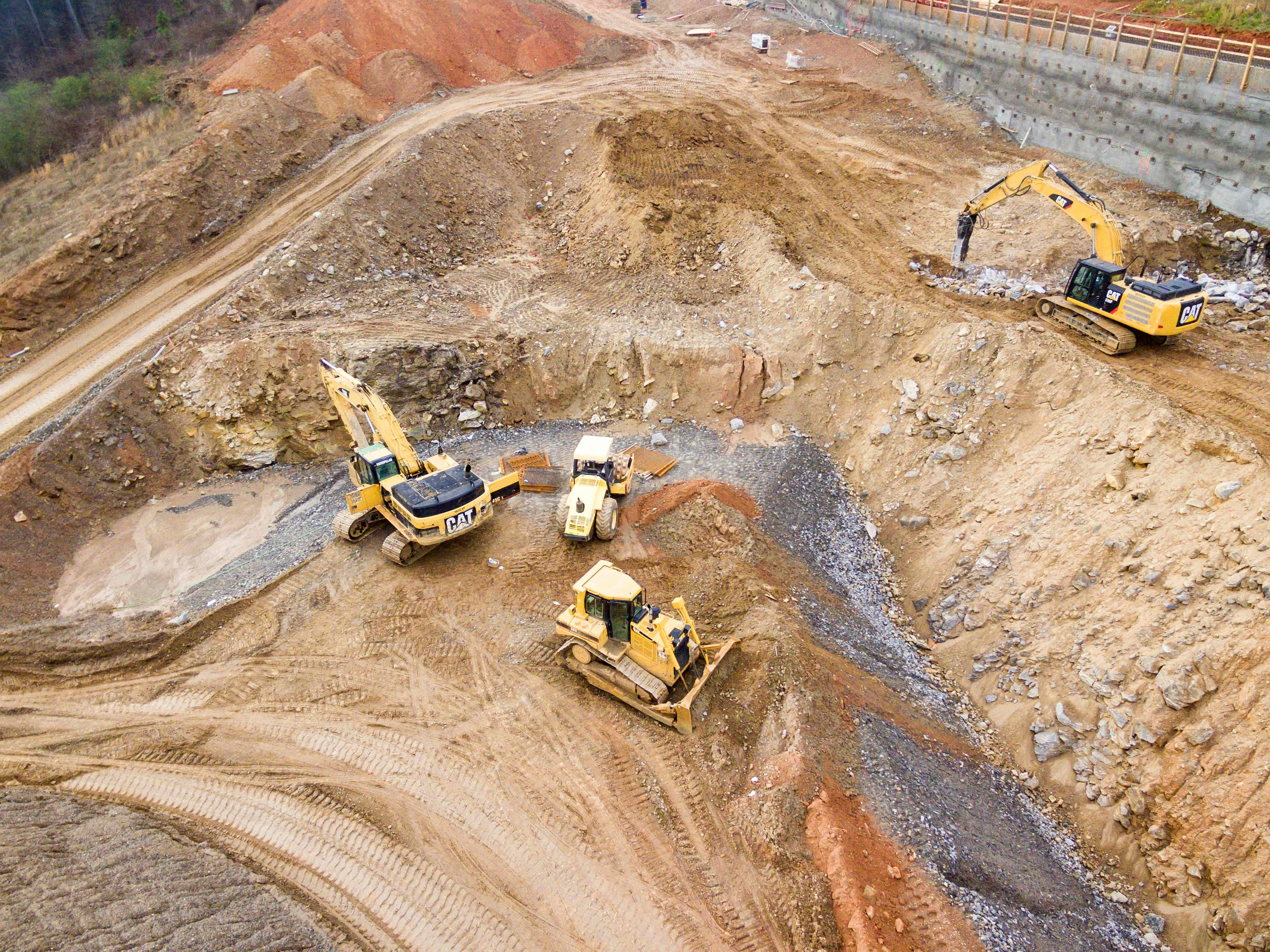
Keep your project on track with precise drone monitoring of earthworks and site grading.
Accurately calculate cut and fill volumes to ensure earthwork activities are on track, reducing material waste and optimizing site resources.
Monitor the progress of site grading activities to keep the project on schedule, providing visual updates that help with planning and coordination.
Generate detailed elevation maps to verify that grading and excavation work are performed according to the project specifications, ensuring accuracy.
Assess the volume of stockpiles on-site, enabling efficient resource allocation and ensuring that materials are managed effectively.
Conduct pre-construction assessments to better understand existing site conditions, aiding in planning and reducing unexpected complications.
Provide stakeholders with clear, visual progress updates that enhance transparency and facilitate better decision-making throughout the project.