Real Estate Showcasing
Bring properties to life with stunning aerial views using our advanced drone showcasing solutions.
Bring properties to life with stunning aerial views using our advanced drone showcasing solutions.
Capture stunning aerial views of the entire property, providing prospective buyers with a sense of scale and layout that traditional photography can't achieve.
Showcase unique property features such as pools, gardens, and outdoor living spaces, helping to highlight what makes each property special.
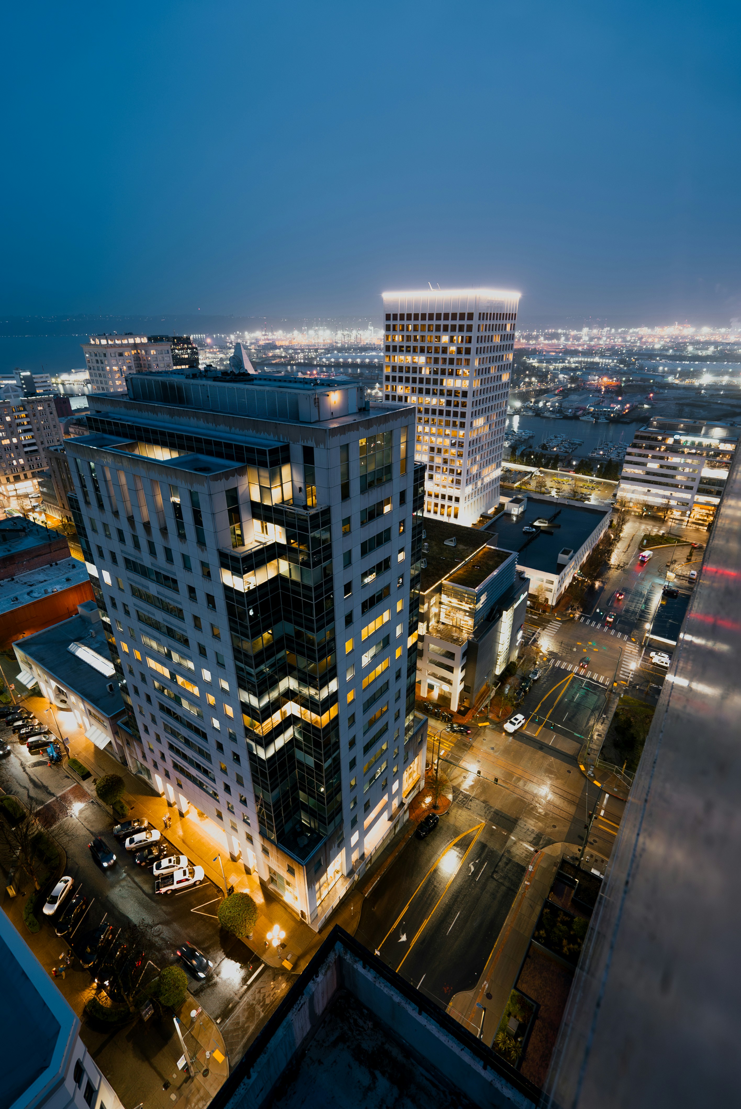
Provide context by capturing the surrounding neighborhood, nearby amenities, and the overall location, giving prospective buyers insight into the property's environment.
Highlight commercial properties such as office buildings, retail spaces, or warehouses, giving potential tenants or investors a comprehensive view of the location and facilities.
Document construction progress for real estate developments, providing visual updates that can be shared with stakeholders or used for marketing future properties.
Integrate aerial survey data with Google Maps for easy visualization and accessibility, allowing stakeholders to interact with mapping data in a familiar and user-friendly format.
Generate high-quality aerial videos and photos for use in property listings, social media, and promotional campaigns, ensuring your marketing materials are visually compelling.
Capture the elegance and grandeur of luxury properties, offering prospective buyers an in-depth look at high-end features and surroundings that elevate the property's appeal.